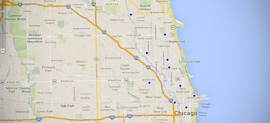
Chicago uses open 311 for a map of dog parks in the city. City of Chicago


Mapping a More Participatory Government
From federal spending to broken streetlights, layered data helps citizens.

Kansas City has one, and so does Washington. Of course, New York and San Francisco have one. Miami used to have one, but now it doesn't. I speak about 311 maps: a data visualization that plots city service requests on a map of the area (sometimes run by city government, but not always).
There are other mashups of maps and data. The site Crime Reports needs little explanation, and new applications of geographic information systems are coming online all the time: Dog Parks in Chicago? Check. The roads of ancient Rome? Check. A year’s worth of data on ocean salinity? Check. And then there are the 800-pound gorillas of government GIS: Recovery.gov (zoom in on Washington) and the newer USAspending.gov (check out the construction projects).
Governing magazine is asking: “Is the Cost of 311 Systems Worth the Price of Knowing?” But the trend is clear: More municipalities are opting for Open311 systems. They are doing it for a variety of reasons, but perhaps the most important one is that Open311, like Gov 2.0 is a platform—one with an ever-expanding tool set. Today, people are marking dog parks and broken streetlights; tomorrow, people might be programming their cars to share pothole data with the city. In addition, as demonstrated by the Recovery.gov and USAspending.gov sites, financial oversight and participatory budgeting are greatly enhanced when financial data is mapped.
Open311 as a Platform
There are three attributes of Open311 that make it such a powerful platform for helping people understand data and make decisions:
1. Maps have become ubiquitous. We have them on our computers, we have them in our pockets, they are increasingly popping up in both indoor and outdoor spaces—malls, parks, bus stops, public buildings of all kinds.
2. Maps represent a very human way of understanding the world. People don’t think in spreadsheet format. But they do think in terms of geography and topography. Putting data in a table is a powerful, but artificial construct, it is hard to interpret and hard to remember. Putting data on map is an organic construct. It mirrors the way people actually remember and make sense of their world.
3. Open311 allows people to add their own layers of meaning to a map because of its nature as an open platform. Not only does Open311 allow people simply to add various data sets, it allows people to perform actual analysis on a map—one example is a map that couples population density with average income plotted by location. That’s not just data, that’s analysis, and it is striking.
Mapping State and Local Budgets
One question that people want answered at every level of government is: How is my tax money being spent? This one question carries others within it: Is tax money being spent equitably among constituencies and localities? Is it being wasted on projects that are intrinsically meaningless? Is it being lost through fraud or abuse? Is it being allocated fairly through a transparent process? Mapping expenditures helps answer all of these questions.
The story of Recovery.gov is elucidating. Prior to the Recovery Act’s passage, a congressional oversight committee asked about the typical rates of fraud, waste and abuse. The panel was told that between 5 percent and 7 percent of a program’s budget was often lost that way. For a program worth $700 billion, that would amount to tens of billions of dollars. Yet the program lost only tens of millions of dollars, in large part due to the transparency of spending that was achieved by plotting every contract award on a map that anyone could access.
With the advent and increasing adoption of participatory budgeting, being able to put spending data on a map allows for greater participation and more oversight—increasing the legitimacy and fairness of the program.
A More Participatory Government
Of all the benefits of using GIS for citizen participation, none may be greater than simply increasing the levels of participation in government. It is hard for people to see how their government affects their lives when all they have to look at is dry, text-based program descriptions. Show them a map, however, with discrete projects plotted in their neighborhood, and they will begin to appreciate that their tax dollars are being spent fairly and in ways that benefit them directly. And if given ways—both online and off—to participate in the allocation of their tax dollars, they will participate.
More eyes means more oversight, which means lower losses to fraud, waste and abuse. More eyes on spending will also mean more minds involved in budgeting, and more people involved in their own governance. That is the real promise of GIS for state and local governments.