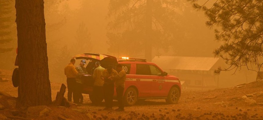
Firefighters plan strategy in the evacuation zone of the Dixie Fire, in Twain, California on July 26, 2021. Photo by ROBYN BECK/AFP via Getty Images


How data models may shape the future of wildfire response
Data models that integrate wildfire spread and vehicle and pedestrian evacuation routes can help responder agencies get residents to safety before an incoming wildfire becomes too much to manage.

Last month, destructive wildfires blazed across Maui, Hawaii, killing at least 100 individuals and destroying some 3,200 acres of land. Residents criticized government leaders, especially those within the Maui Emergency Management Agency, for their ineffective response to the wildfire and evacuation.
Maui isn’t the only community, however, that has been caught unawares by wildfires. As they increase in frequency and severity, it’ll be even harder for local governments to respond to unpredictable blazes on the fly, said Alexander Maranghides, a fire protection engineer at the National Institute of Standards and Technology, or NIST. Plus, a lack of federal, state or local standards on fire management and response can leave communities scrambling with makeshift plans when wildfires hit.
Wildfires are especially difficult to control because there are so many variables and scenarios, including the wind direction that day or a sudden road closure during an evacuation, that affect the speed, path and impact of a blaze, Maranghides said. That’s why officials need to “take a step back” and build a blueprint for future wildfire management that allows them to plan for the unexpected.
A recent NIST report, co-authored by Maranghides, guides small- to mid-sized communities in standing up more robust wildfire procedures for first responders dealing with a fast-changing threat. The report highlights how data can help fire response managers more efficiently plan evacuations, identify safety zones for residents and communicate wildfire updates and instructions to the community.
Many governments already use remote sensor systems, video feeds and data modeling to monitor wildfire conditions and offer situational awareness for responders, the report said. But also using those tools to model traffic and pedestrian movement during a wildfire event can “support decision-making and advance planning by public safety officials by providing insight into potential scenarios and outcomes,” the NIST report said.
Interest in effective wildfire emergency management is on the rise. In 2021, California’s Department of Transportation issued a report on its preliminary investigations into traffic modeling practices for mass emergency evacuations during wildfires and the impacts of road design standards on highways used as evacuation routes during those events.
More recently, however, NIST has been working on a data modeling platform called WUI-NITY, designed to protect people in areas bordering wildlands where wildfires are a greater safety risk to populations. It allows public safety officials to couple and visualize wildfire spread with vehicle and pedestrian evacuation so they can evaluate potential risks, vulnerabilities and areas of improvement during wildfire responses, especially related to evacuations or shelter procedures. For instance, the model can help identify areas where traffic may jam up during an evacuation, putting residents at risk of getting trapped in a quickly approaching fire, Maranghides said. Emergency managers can then plan alternative evacuation routes.
Another key to safe and effective wildfire response is the ability to manage residents in the community. According to the NIST report, public safety officials should start by determining trigger zones, or areas that when reached by a wildfire indicate it is time to evacuate. The boundaries of concentric trigger zones surrounding the ignition site will vary greatly, based on the community’s topography, climates and fuel types such as local vegetation as well as the time it takes to move residents to safety.
A model called kPERIL generates a set of trigger zones determined by a range of user-specified values and assigns a confidence rating to the resulting wildfire evacuation simulations, the report said. These zones can indicate the location of vulnerable communities that may need additional resources for rescue and recovery, the report added. They can also identify safe areas that emergency managers can direct residents to, such as open parks or parking lots, for temporary refuge during a wildfire, Maranghides said.
Ultimately, public safety managers should link data on wildfire conditions, evacuation models and trigger zones to inform their emergency alert operations and communicate threats to the public. The Department of Homeland Security, for instance, is piloting geotargeted wildfire alerts triggered by remote sensors and sent to individuals’ mobile devices and vehicle systems.
To better protect the public, wildfire and public safety managers must prioritize the “synchronization [of] the pace of the fire spread, the location of the fire and the notification of evacuation,” Maranghides said.
NEXT STORY: Are we 30 days from a government shutdown?