NOAA


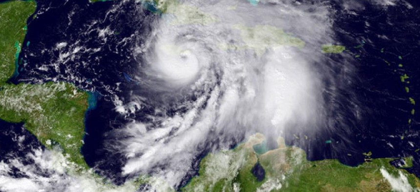
The alert today from the National Weather Service on the possible effect of Hurricane Sandy along the eastern seaboard starts out with a heavy emphasis on technical jargon:
DESPITE A MODEST CLUSTER OF OUTLYING DETERMINISTIC SOLUTIONS AND ENSEMBLE MEMBERS FROM THE VARIOUS MODELING CENTERS, THE LION'S SHARE OF GUIDANCE INDICATES THAT THE CIRCULATION ASSOCIATED WITH HURRICANE SANDY WILL PASS CLOSE ENOUGH TO THE AMPLIFYING POLAR TROUGH OVER THE EASTERN UNITED STATES TO BECOME INCORPORATED INTO A HYBRID VORTEX OVER THE MID ATLANTIC AND NORTHEAST NEXT TUESDAY.
Then, however, the alert suddenly gets very interesting:
THE HIGH DEGREE OF BLOCKING FROM EASTERN NORTH AMERICA ACROSS THE ENTIRE ATLANTIC BASIN IS EXPECTED TO ALLOW THIS UNUSUAL MERGER TO TAKE PLACE, AND ONCE THE COMBINED GYRE MATERIALIZES, IT SHOULD SETTLE BACK TOWARD THE INTERIOR NORTHEAST THROUGH HALLOWEEN, INVITING PERHAPS A GHOULISH NICKNAME FOR THE CYCLONE ALONG THE LINES OF "FRANKENSTORM", AN ALLUSION TO MARY SHELLEY'S GOTHIC CREATURE OF SYNTHESIZED ELEMENTS.
Apparently NWS' meteorologists were paying attention in those English literature classes they took, too.
Of course, I have to wonder if this is all just a way to preempt the Weather Channel and its recently announced policy of coming up with names for winter storms, starting this season.
NEXT STORY: Preserving Vietnam's Memories and Mysteries