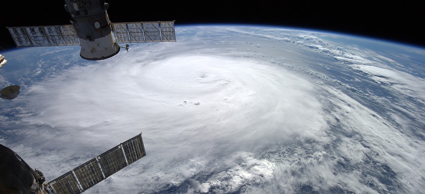
Hurricane Gonzalo looms large as viewed from the International Space Station. NASA


NASA Has Learned a Lot About Hurricanes Since Katrina
With the 10th anniversary of Hurricane Katrina in mind, NASA is showing off how much its ability to track and analyze storms has improved.
Science is, naturally, the never-ending pursuit of knowledge that has spanned the entirety of human existence and will continue, in some form, ad infinitum—but it’s incredible to see how much progress can be made in just a decade. With the 10th anniversary of Hurricane Katrina this week in mind, NASA is showing off how much its ability to track and analyze hurricanes has improved in the few years since the devastating storm hit the Gulf Coast of the United States.
Here’s a satellite model of Hurricane Katrina’s wind speed from 2005:

(NASA Goddard Space Flight Center/Bill Putman)
And here’s what that wind speed analysis would look like with 2015 technology:

(NASA Goddard Space Flight Center/Bill Putman)
The model from 2005 used a 50-kilometer resolution, while current models boast a resolution of just over 6 km. Clearly, the data that satellites can now send are much more comprehensive than what was being transmitted in 2005. New technology has even allowed researchers to figure out better ways of predicting a storm’s intensity:
“It used to be that we always looked for the mechanisms that allow hurricanes to rapidly intensify, but as of late, the question has gotten flipped around,” said Scott Braun, a research meteorologist at NASA’s Goddard Space Flight Center, which operates the satellites that track hurricanes. “Now we ask what are the factors that prevent a hurricane from intensifying.”
One of those factors, shown by the images above, is high wind shear, or “a large change in winds with height, in the storm’s environment.”
But it’s not just better tech that is helping NASA to track storms—it’s also that there’s a lot more of it. NASA says that, since Katrina, it and other agencies around the world have rapidly increased the number of sensors in space that can collect storm data. NASA’s Earth Observing System (EOS) includes about a dozen active satellites studying the Earth’s weather and climate. Six of them, like CloudSat and CALIPSO, have launched in the last nine years a lone.
Below is a 2005 image of the water vapor within Hurricane Katrina, once again in 50-km resolution.

(NASA Goddard Space Flight Center/Bill Putman)
And here’s that same view taken day by EOS Version 5 at 6-km resolution:

(NASA Goddard Space Flight Center/Bill Putman)
These improvements, to put it simply, are huge. “For the intensity of a hurricane, so much comes down to the details of the really small processes and specifics in the inner core,” said Dan Cecil, a scientist at NASA’s Marshall Space Flight Center. We can’t stop hurricanes from happening (or can we?), but we now know a whole lot more about them than we did just 10 years ago. Hopefully that information will prevent widespread physical damage and, more importantly, save lives.