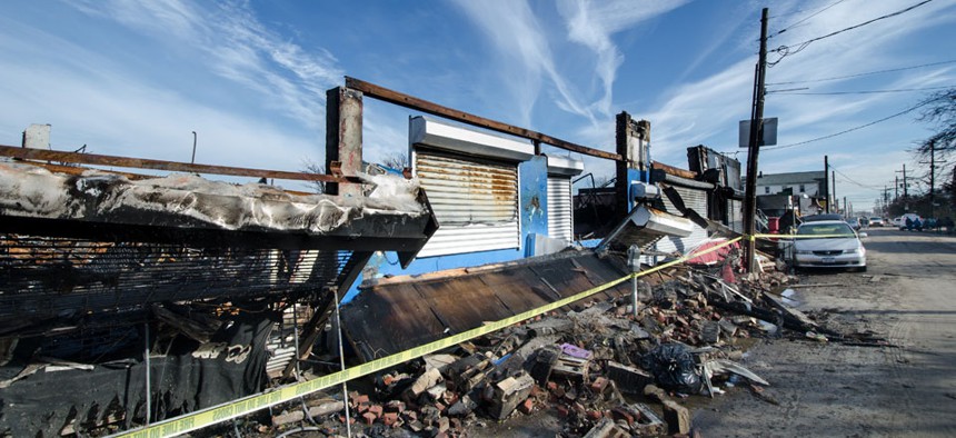
John Huntington/Shutterstock.com
Red Tape and Bureaucracy Bungled Hurricane Sandy Warnings
And why that (hopefully) won't happen again.
A few hours before slamming into the East Coast, flooding basements, splintering boardwalks, and destroying whole communities, Hurricane Sandy did something that crucially changed the national response to the storm—it stopped being a hurricane.
It didn't matter that Sandy was a gigantic (expletive) storm. It had combined into something more like a nor'easter. Technically, it was a post-tropical cyclone, a name that surely has less connotative meaning than "hurricane."
And then the bureaucracy got in the way. Yes, it appears not even the weather is free of red tape. Below, see how the hurricane-warning model looked when Sandy came ashore. When the storm became "post-tropical" (and therefore not technically a hurricane) as it approached land, it dropped out of the National Hurricane Center's purview.
Warnings about the storm didn't drop altogether. They did, however, change hands to another branch of the weather bureaucracy: local National Weather Service offices. "That choice meant that local meteorological offices, without the NHC's hurricane expertise, determined what local warnings to issue," an article in the September issue of Earth magazine, published by the American Geosciences Institute, explains. "It meant that local government officials had to determine their own evacuation orders from the local meteorologists."
The Earth piece is an interesting and at times frustrating outline of the chaos of what happens when nature intersects with rigid government protocols. Before the storm struck, the National Oceanic and Atmospheric Administration (the weather service's parent agency) was worried that if the electronic systems had sent out a hurricane warning but called it a "post-tropical storm," the systems could have failed, they were that rigid. James L. Franklin, the chief of the Hurricane Specialist Unit at the National Hurricane Center, told Earth "it might have worked, but we had no way to test it.... We are obligated to follow the rules that we told [weather reporters, local governments, and emergency responders] we will follow."
Earth explains what happened next:
In the end, NHC stuck with the NOAA protocol and went with the suite of warnings prescribed for nontropical storms, consistent with the NHC's forecasts. But that choice meant that local meteorological offices, without the NHC's hurricane expertise, determined what local warnings to issue; it meant that local government officials had to determine their own evacuation orders from the local meteorologists. There was no unified message, such as would have come from NHC if the team had retained control in a hurricane scenario. Every warning would have come from NHC, labeled as a hurricane from start to finish, had Sandy hit land as a hurricane.
So what the change of storm class did was change the message, and perhaps watered it down in the process. "NWS was concerned that if it issued hurricane watches and warnings and then dropped them before the storm struck land (and after the storm transitioned to post-tropical), there would be significant confusion on the part of decision makers and the public," the official NOAA assessment of the storm reads.
Those in the weather media were irked. Bryan Norcoss at The Weather Channel told Earth, "The public messages were very garbled on the level of threat." And this trickled down to the public's understanding of the storm. A University of Pennsylvania assessment found that:
While there was universal awareness of the threat that Sandy posed and almost all took some preparatory action, there was also widespread confusion about the nature of warnings issued about Sandy, and preparation that was insufficient for the threat Sandy posed. For example, as short as six hours before landfall and after tropical-storm-force winds had been affecting the coast for a number of hours, 40 percent of respondents mistakenly believed they were under a hurricane watch (instead of a hurricane-force wind warning). Likewise, most coastal residents misconstrued the primary threat of Sandy as coming from wind rather than water.
And it was the storm surge that caused the worst of the damage. The episode, however, did spur NOAA to change its warning protocols. Now, if a hurricane gets downgraded and it's still a massive storm set to do damage, we're still going to treat it like a hurricane. This is what the new model looks like.
(Top image via John Huntington/Shutterstock.com)


