
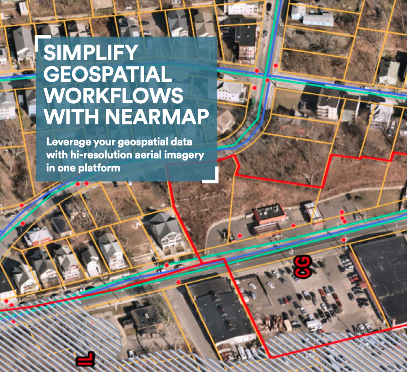
Simplify geospatial workflows with Nearmap
Streamline workflows and reduce labor and associated costs with GeoData Link. Nearmap with GeoData Link adds the ability to incorporate ArcGIS hosted GIS layers directly into Nearmap MapBrowser. GeoData Link allows users to view GIS data over the highest quality of imagery adds deeper insight and brings better context to many workflows. You can use Nearmap GeoData Link to connect to your organizational GIS content, access shared regional data, view project data, or even leverage national datasets that offer a rest endpoint to connect to like FEMA Flood Zones or NWI Wetlands.
Sponsored by