
Geospatial Module
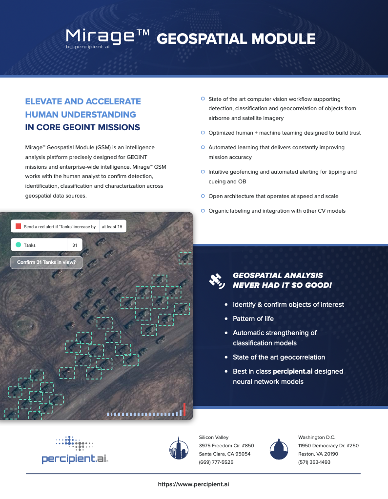
GSM allows for collaborative teaming and analysis across GEOINT missions. GSM works with the user to confirm detection, identification, classification, and characterization of objects and vehicles across geospatial data sources. Users can also geo-fence a zone and set persistent overwatch and alerting. Using GSM, GEOINT users confirm historic data and link satellite imagery feeds into Mirage for processing, alerting, and analysis.
Sponsored by