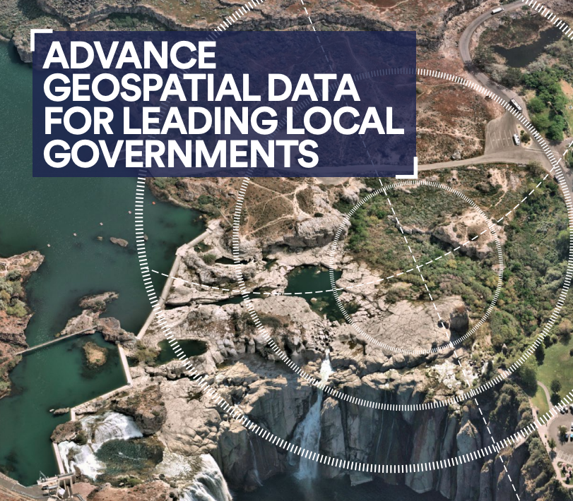
Advance geospatial data for leading local governments
Local governments nationwide rely on Nearmap aerial intelligence to work more effectively and efficiently using advanced insights that unlock greater certainty across their workflows. With on-demand access to highly-detailed vertical, oblique, and panoramic aerial imagery; a robust catalog of historic captures; accurate city-scale 3D datasets; and 500+ AI parcel insights, there’s nothing our map can’t do.


